According to its website, the AMESD ” … will enable all African national and regional institutions focusing on environment and natural resources, as well as the continent’s National Meteorological and Hydrological Services, to catch up technologically with their counterparts in Europe, America and Asia, which have benefited from the use of operational space technologies in environmental monitoring for some time.” By the time the project is completed, in 2013, reports suggest that it will have made significant strides toward meeting that ambitious goal.

PUMA Station. Photo Source: AMESD
AMESD began with the deployment of data reception stations, funded through the European Meteorological Transition in Africa Project – PUMA program, in 50 locations throughout sub-Saharan Africa between 2001 and 2005. These stations, which provide a sort of “backbone” for AMESD, allow African authorities to access and make use of satellite information from the European Organisation for the Exploitation of Meteorological Satellites (EUMETSAT). Through AMESD, information gathered from EUMETSAT is having a significant positive impact on agriculture, environmental management and marine and water resource management.

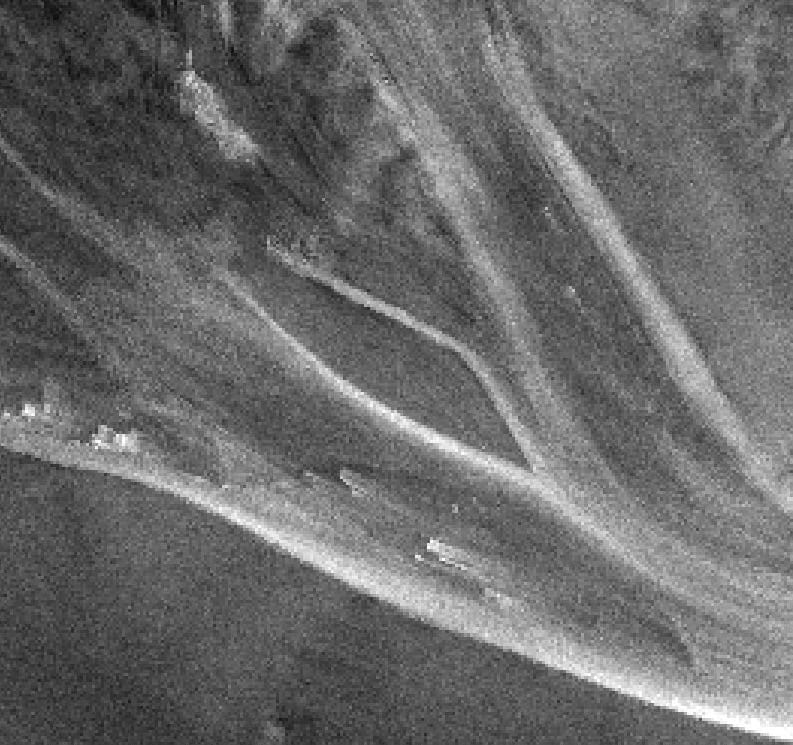
The Congo River. Photo Source: NASA
One major AMESD project is centered around the . At present, the Congo River is serving the transportation and water needs of five nations, including the Republic of Cameroon, the Central African Republic, the Congo Republic, the Democratic Republic of Congo, and the Republic of Angola. The river basin, however, faces severe low-water challenges — challenges which have increased dramatically over time.
AMESD is actively engaged in several projects which will provide actionable data to improve conditions along the Congo River and its tributaries. These include a low water alert system to be developed with navigation services on the Ubangi River, a trans-boundary river shared by the Central African Republic, the Republic of Congo and the Democratic Republic of Congo. Information provided to local boatmen will make it possible to load and maneuver boats appropriately, and make inter-state navigation simpler.

International AMESD Forum. Photo Source: AMESD
“Continentalization” is a major focus — that is, a system that will allow the entire African continent to work as a whole to observe and manage natural systems. The hope is that, through AMESD and related projects, African researchers will be trained and provided with the tools they need to predict weather, support land and water management, forecast changes in water supply, and much more. To make this kind of vision a reality, AMESD and its partners are focused solidly on capacity-building through training, conferences, symposia and information-sharing. The long-term goals for AMESD involve training more than 500 African technicians, so that Africa’s governments can participate fully in strategic global environment surveillance programs such as Europe’s Global Monitoring for Environment and Security (GMES) initiative and the Global Earth Observation System of Systems (GEOSS).
For more on Earth Observation and Africa, see:
Disaster Preparedness in the Water Sector of Developing Countries
Exploring AEON, The Africa Earth Observatory Network
Floods and Droughts in a Changing Climate ÛÒ Now and the Future